A convective SIGMET pops up on the briefing 30 minutes before your planned departure, and it clips the corner of your route about 80 miles out. Do you cancel? Delay two hours? File a longer route around it? Take off and see what develops? This is the decision GA pilots get wrong most often — not because we don’t know thunderstorms are dangerous, but because we wait too long to make the call and then run out of good options.
This is the playbook. It’s built for the pilot flying a single-engine piston with datalink NEXRAD, no onboard radar, and a real-life schedule pulling on the other end. We’ll walk through what a convective SIGMET actually means, how to read one in under 30 seconds, when to reroute vs. cancel, and how to talk to ATC once you’re already airborne and the picture changes.
What a Convective SIGMET Actually Is
A convective SIGMET (product code WST) is a NOWcast issued by the Aviation Weather Center in Kansas City that warns of organized, dangerous thunderstorm activity significant to all aircraft. It’s not a “there might be storms” advisory — it’s a formal statement that convection has hit specific severity or coverage thresholds, and every airplane in the affected area needs to make a decision.
The AWC issues WSTs at 55 minutes past every hour, plus special issuances anytime the situation demands it. Each SIGMET is valid for two hours or until the convection ends, whichever comes first. There are three regional desks — East, Central, and West — and every bulletin ends in the letter matching its region (SIGMET 35E, 12C, 07W).
The Issuance Criteria — Why This Matters
Routine convective SIGMETs are issued when one of three criteria is met: a line of thunderstorms at least 60 miles long affecting 40% of its length; an area of thunderstorms covering at least 3,000 square miles with 40% coverage; or embedded/severe thunderstorms expected to persist for at least 30 minutes. Any WST implies severe or greater turbulence, severe icing, and low-level wind shear.
Special SIGMETs are issued anytime the AWC sees a tornado, hail 3/4 inch or larger, surface winds 50 knots or greater, or rapidly worsening conditions — even if the coverage doesn’t meet the routine thresholds. When you see a special issuance, treat it as a warning that something dangerous is happening right now.
The practical takeaway: a WST is not the same as scattered pop-up cells on a summer afternoon. It’s organized convection that a professional meteorologist has decided is significant enough to force a decision.
How to Decode a WST in 30 Seconds
Every WST follows the same format. Here’s a real-world example:
CONVECTIVE SIGMET 35E VALID UNTIL 1855Z
NC SC GA
FROM 40NNE CLT-30ESE CAE-50SW CHS-60SW CAE-40NNE CLT
AREA TS MOV FROM 26025KT. TOPS TO FL450.
HAIL TO 1 IN…WIND GUSTS TO 55KT POSS.
Read it in this order: sequence number and region (35E means the 35th SIGMET issued today by the East desk), validity window (until 1855Z — about two hours from issuance), affected states, the geographic vertices that define the boundary polygon (each waypoint is a distance and radial from a VOR), motion vector (moving from 260° at 25 knots), tops (FL450 in this case — well above what any piston is going anywhere near), and specific hazards (1-inch hail, 55-knot gusts).
The most important piece for a piston pilot is the motion vector. A cell moving 25 knots from 260 means the whole area is walking east-northeast at 25 knots. In two hours, that boundary has shifted 50 nautical miles downwind. If your route is downwind of the current boundary, the SIGMET is chasing you. If you’re upwind, it’s leaving.
Every WST Includes an Outlook
Appended to each bulletin is an outlook valid 2-6 hours after the WST issuance time. The outlook is a smeared-out forecast of larger areas likely to see one or more SIGMETs issued in the next 2-6 hours. This is the piece most pilots skip and shouldn’t.
Here’s why it matters. If the current WST clips your route but the outlook shows the same air mass building along your destination corridor for the next four hours, delaying two hours doesn’t help — you’re departing straight into worsening conditions. The outlook is what turns a reroute decision into a cancel decision.
The 20 NM Rule and Why 40 NM Between Cells
The FAA’s Pilot’s Handbook of Aeronautical Knowledge recommends staying at least 20 nautical miles from any active thunderstorm — because hail, outflow, virga, and invisible turbulence can extend well beyond the visible cell edge. If you’re threading between two cells, you want at least 40 nautical miles between them so you have 20 miles of margin on each side.
These aren’t advisory numbers. They’re minimums. In a piston single with no radar, no lightning detector, and datalink NEXRAD that’s already 5-15 minutes old, they’re the floor — not a target. If the gap between cells looks marginal, it isn’t a gap. It’s a trap that’s about to close.
See our companion piece on thunderstorm avoidance for GA pilots for the full clearance rationale and the case studies behind it.
NEXRAD Datalink Is Not Real-Time — Ever
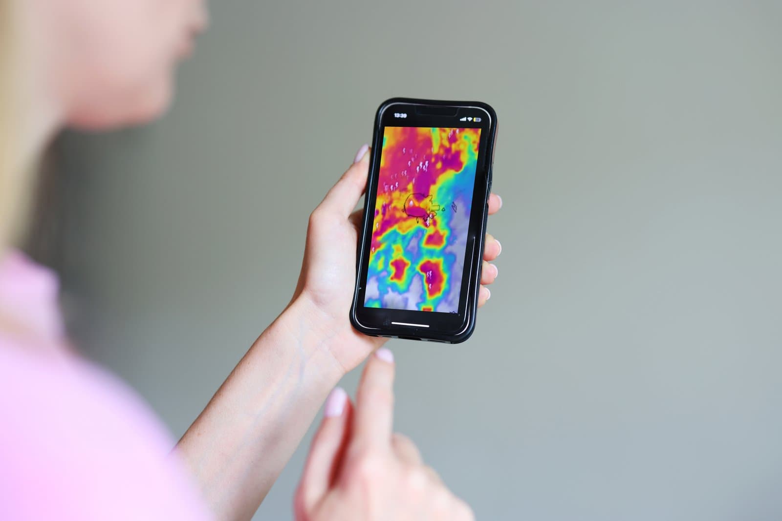
The single biggest killer in convective SIGMET decision-making is trusting datalink NEXRAD to route you between cells in real time. It cannot do that. The timestamp on your ForeFlight or Garmin Pilot mosaic shows when the mosaic was assembled — not when the actual radar sweep happened. Total latency from radar scan to your iPad can run 5 to 15 minutes.
Fifteen minutes is enough time for a cell to grow from level 2 to level 5. Enough time for a new cell to form in what looks like a clean corridor on your screen. Enough time for a gap you were aiming for to close entirely. The FAA and every EFB vendor have said the same thing for years: NEXRAD is a strategic planning tool, not a tactical avoidance tool.
Our deep dive on ADS-B In receivers and the airborne weather radar field guide break down what each product actually shows and what it doesn’t.
The Preflight Decision Tree
Before you even walk to the airplane, run this sequence:
Step 1 — Is there a convective SIGMET affecting my route? Check the AWC graphical products page or your EFB’s WST overlay. If yes, note the sequence number, validity window, motion vector, and hazards.
Step 2 — Read the outlook. Is the air mass building, holding steady, or dissipating? Building = cancel or delay four hours. Dissipating = delay 60-90 minutes and reassess. Holding = reroute if a clear corridor exists.
Step 3 — Check the reroute math. Adding 60 miles to a 400-mile flight in a 130-knot piston costs about 28 minutes and 4 gallons. That’s cheap. Adding 200 miles to route around a coast-hugging line is a different calculation — you may not have the fuel or daylight for it.
Step 4 — Check the destination and alternate. If your destination is inside the SIGMET or its outlook footprint, the fact that your departure is clear doesn’t help you. And the same logic applies to your alternate — if it goes down while you’re airborne, you’ve lost your out.
Step 5 — Personal minimums. If you’ve never flown around active convection before, this is not the day to learn. Cancel, ride with a seasoned pilot next time, and come back when you have both experience and a better forecast.

The Enroute Decision Tree
You launched, the picture changed, and now you have a decision to make in the airplane. Work the problem in this order:
Get a Flight Watch or Flight Service update. On any frequency shown for your area, call “Flight Service on 122.2” or the specific RCO. Ask for the current WST and any special issuances. This is not optional. The NEXRAD on your iPad is old — Flight Service has the fresh product straight from the AWC.
Look outside. If the cells are visible, use your eyes. If it’s dark, in cloud, or hazy — assume the worst and increase your margins. Pilots consistently report they lose the ability to judge cell distance and severity at night, even with datalink.
Check the motion vector against your track. If the storm is moving perpendicular to or away from your route, threading behind it is often the play. If it’s moving toward you or along your route, it’s paralleling you and you can’t outrun it in a piston — go around, land, or turn back.
Talk to ATC early. The moment you know you need a deviation, ask. “Deviation requested left of course for weather, up to 30 degrees, will advise clear.” Controllers grant these routinely. What they can’t do is invent airspace for you 5 miles from a cell because you waited too long to speak up.
Cancel or Reroute — Three Real Scenarios
Scenario 1 — Line moving perpendicular. A north-south line is moving east at 20 knots and clips the western third of your eastbound route. The line will clear your route in about 90 minutes. Solution: delay 90-120 minutes, verify the outlook stays clean, then depart. This is the classic “wait it out” case, and it almost always works.
Scenario 2 — Area SIGMET across the destination corridor. A 3,500-square-mile SIGMET covers your destination and the outlook shows the whole air mass building through the afternoon. Solution: cancel and rebook for the next day, or file to a distant alternate outside the outlook footprint. Do not launch hoping it clears — the outlook is telling you it won’t.
Scenario 3 — Building line behind you, clear ahead. The SIGMET is behind your departure and moving away. Ahead is CAVU. Solution: launch on schedule but monitor the situation for your return leg. If the return leg is later the same day and the outlook shows the line reaching your departure airport by then, you may not have a home to return to. Plan the return alternate now.
Coordinating with ATC — What to Say
ATC wants you to deviate around weather. What they don’t want is a silent pilot who suddenly needs 45 degrees of turn with no warning. Use these phrases:
“Center, N12345, requesting deviation left of course up to 30 degrees for weather. Will resume own navigation direct [next fix] when clear.”
“N12345, request altitude block 6,000 to 8,000 for turbulence avoidance.”
“Center, N12345 unable this heading. Weather. Request immediate right turn to 240.”
The magic words when you need immediate action are “unable” and “request immediate.” Both trigger controller priority handling. Save them for real needs — but when you need them, don’t hesitate.
See the companion AIRMET and SIGMET reading guide for how these products are integrated into a Flight Service briefing, and our PIREPs field guide for how to translate other pilots’ real-time reports of conditions inside the SIGMET area.
The “Land Now” Signal
There is a threshold at which the answer is no longer “deviate” — it’s “put the airplane on the ground at the nearest paved runway that isn’t underneath the storm.” Recognize it early:
You’ve deviated once and now need to deviate again in the opposite direction. Your escape corridor is closing. Cells are building faster than you’re moving. NEXRAD is going red between you and every fix on your flight plan. You’ve lost visual on the ground or the cells or both. You’re getting bounced hard enough that you’re having trouble reading instruments.
Any two of those together and you’re already late. Declare an urgency (“PAN-PAN, PAN-PAN, PAN-PAN, N12345, weather diversion, request nearest suitable airport”), take vectors, land, refuel, coffee, wait it out. There is no schedule worth flying into a convective SIGMET the wrong way around.
Common Traps
Some patterns show up in NTSB reports over and over. Watch for them.
The gap illusion. Two cells look 20 miles apart on NEXRAD. In reality, the mosaic is 12 minutes old, both cells have grown 30% since the sweep, and the “gap” is now 4 miles. Never thread a gap you don’t have 40 nautical miles of clearance in.
The below-the-storm plan. “I’ll just fly under it at 1,500 AGL.” Convective downdrafts, microbursts, and hail cores extend all the way to the surface. See our wind shear recognition guide for why this is one of the deadliest choices in GA weather flying.
The get-there-itis timeline. You have a business meeting, family event, or return leg scheduled that psychologically anchors you to launching. Recognize the anchor. Name it out loud. Then ask: would I make this same decision if the calendar were empty? If the answer is no, that’s the answer.
The “it’s just building cumulus” downgrade. A WST doesn’t get issued on a hunch. If the AWC has flagged it, it’s real. Do not talk yourself out of the SIGMET because your window shows blue sky.
The 5 Habits That Prevent SIGMET Surprises
Pilots who make good convective decisions all do the same handful of things:
They check the Storm Prediction Center convective outlook the night before, not just the morning of. This is the leading indicator — WSTs are the trailing one. They set a personal cancel threshold before they leave the house, not after they see the METAR. They brief the reroute as part of the flight plan, not as an afterthought. They keep an alternate outside the SIGMET outlook footprint, not just the SIGMET boundary. And they build in fuel margin — 45 minutes minimum, more when convection is in the forecast — so a 200-mile detour is a nuisance, not an emergency.
FAQ
Is it legal to fly through a convective SIGMET?
Under Part 91, there is no regulation that explicitly forbids penetrating a convective SIGMET. But 91.103 requires you to obtain all available information affecting the safety of flight, and case law consistently treats SIGMETs as information the pilot must factor in. If you crash inside one, expect the NTSB to note it. More practically: no small GA airplane is built to survive the turbulence, hail, and shear that trigger a WST. Legal and survivable are two different questions.
How is a convective SIGMET different from a regular SIGMET?
Regular SIGMETs cover non-convective hazards — severe turbulence, severe icing, volcanic ash, dust storms, and widespread reduced visibility. They can be issued for CONUS, Alaska, and Hawaii. Convective SIGMETs specifically cover thunderstorm hazards, are issued only for CONUS, and come from a dedicated AWC desk. WSTs are shorter, more frequent, and more perishable.
Can I trust ForeFlight’s SIGMET overlay?
The overlay itself is accurate — it’s the actual WST product pulled from the AWC. What you can’t trust is a stale overlay if your device hasn’t refreshed. Verify the timestamp before you use it for any decision. And remember the overlay tells you where the SIGMET boundary is, not where the actual cells are right now — those keep moving between refreshes.
Our Take
Nobody gets hurt by canceling a flight. Pilots get hurt by launching when they shouldn’t, or by holding the current heading when the picture has clearly changed. A convective SIGMET is the AWC saying, on the record, that the atmosphere in a specific box is capable of tearing your airplane apart. Treat every one as a decision-forcing event: cancel, delay, reroute, or divert — but decide, and decide early. The pilots who fly for 40 years without hitting a thunderstorm aren’t luckier than the rest. They just make the call sooner.
External References
- FAA AIM Chapter 7 Section 1 — Safety of Flight (weather advisories and pilot responsibilities)
- FAA Flight Services Order 7110.10 — SIGMET, AIRMET, and Convective SIGMET (WST) procedures
- NWS Aviation Weather Center — the source for every WST
- AOPA Air Safety Institute — Thunderstorm Season safety tips
- AOPA — Dodging with Datalink (NEXRAD latency reality)
Related Articles
- Thunderstorm Avoidance: The Complete GA Pilot Guide 2026
- Reading AIRMETs and SIGMETs
- Airborne Weather Radar for GA Piston Owners
- Wind Shear Recognition and Recovery for GA Pilots
- Lightning Detection for GA Pilots: The 2026 Stormscope Guide
- Reading PIREPs: The 2026 GA Pilot Field Guide
- ATIS vs AWOS vs ASOS: The 2026 GA Pilot Field Guide
- Best ADS-B In Receiver: Sentry vs Stratus 4 Shootout
- Fog Formation and Forecasting for GA Pilots
- Marine Layer Fog on the West Coast: GA Pilot Guide 2026
- Structural Icing in Piston Singles
- VFR Cross-Country Planning: The 2026 GA End-to-End Guide