Last Updated: July 3, 2026 | E3 Aviation Editorial Team
Airborne weather radar used to be a “big airplane” feature. That’s changing. The retrofit market has pushed 3D volumetric scanning and automated storm analysis into panel-mount displays. Those displays already sit in high-performance singles and light twins. More GA piston owners are asking the same question. Is a real radar worth the panel real estate, the weight, and the money? And if so, what do you actually need to know to fly with it?
This guide answers both. We’ll walk through how the system works. We’ll cover what it can and can’t see. We’ll show you how to use tilt and gain like a pilot who’s flown behind one for years. We’ll show you where the honest limits live. We’ll compare today’s radar options to datalink NEXRAD for the GA piston mission. We’ll be straight with you about the tradeoffs. A radar you don’t understand is worse than no radar at all.
What Airborne Weather Radar Actually Is (and Isn’t)
An airborne weather radar is an active sensor. Your antenna transmits a pencil-beam pulse of microwave energy. The pulse reflects off water droplets. The receiver measures how much energy came back and how long it took. Wet, big drops reflect a lot. That’s the basic physics. It drives almost every strength and limitation the system has.
Most GA-class installations run in the X-band (roughly 9.3 to 9.5 GHz). X-band is compact enough to package into a 10-, 12-, or 14-inch flat-plate antenna that fits behind a piston-single radome. It’s sensitive enough to paint precipitation at useful ranges. It’s also more attenuated by heavy rain than the C-band radars used in some heavier aircraft. That’s the first tradeoff you inherit the day you turn the box on.
Here’s the punchline: an airborne radar shows you precipitation, right now, along your line of sight. It does not show turbulence directly. It does not show ice or snow reliably. It does not show cloud. It doesn’t replace your eyes, your ATC picture, or the datalink strategic picture you already run in ForeFlight. It’s a tactical sensor for the last 40 to 80 miles in front of the nose. That’s exactly the window where a strategic NEXRAD product can’t help you.
Radar vs Datalink NEXRAD: Two Tools, Two Jobs
This is where a lot of GA pilots get confused, so let’s fix it up front. Datalink NEXRAD is strategic. Airborne weather radar is tactical. Both are useful. Neither is the other.
NEXRAD is ground-based. The FAA and NWS composite mosaic you see on ADS-B In or SiriusXM is stitched from dozens of ground stations. By the time it reaches your panel it can be 15 to 20 minutes stale. FAA AIM 7-1-27 explicitly warns pilots not to use datalink NEXRAD mosaic imagery as the sole means for tactical maneuvering around thunderstorms. That’s not a nitpick. Convective cells build vertically at more than 3,000 feet per minute. The gap you saw at the top of the receive cycle can be closed by the time you fly into it.
An airborne radar gives you a live look. The pulse leaves the antenna. The return comes back in microseconds. What you see on the display is what’s out there right now. That’s the value proposition for a piston owner flying real-world convective days. You get strategic pattern from NEXRAD 30 minutes before the deviation matters. You get live confirmation from the radar in the 20 miles that decide whether you turn 30 degrees left or 30 degrees right.
When each tool wins
Use NEXRAD to decide whether to depart. Use it to decide whether to divert now or in 40 miles. Use it to see where the general line of build-ups is trending. Use radar to pick the actual hole. Watch a cell grow or bleed off as you close. Confirm that what looks like a gap on the datalink picture is actually a gap right now.
How to Read the Display

Modern airborne weather radar displays speak in color. The colors mean something specific. Green is light precipitation — roughly 20 to 30 dBZ of reflectivity. Yellow is moderate — 30 to 40 dBZ. Red is heavy — above 40 dBZ. Magenta means extreme — usually above 50 dBZ. Magenta is the display code for “do not fly into this.” Newer boxes like the Garmin GWX 8000 add more color steps for finer discrimination. The mental model is the same. Greener is wetter drops in smaller quantity. Redder is more water in more volume. Magenta is a wall.
Two more display concepts matter. The first is contour. Contouring highlights the sharp gradient between two reflectivity levels — the line where a cell goes from red to magenta, or from yellow to red. Sharp gradients correlate strongly with severe convection and heavy vertical motion. A cell that goes from green to magenta in half a mile is telling you something a smooth green blob is not.
The second is the shadow. When your beam hits a wall of heavy rain, most of your energy gets absorbed by the water. What’s behind that wall is a black hole on the screen. Not because there’s nothing there. Because you can’t see through the cell in front of it. AIM guidance and FAA weather materials both call this out: never assume a shadow behind a strong return is clear air. Sometimes the biggest cell is the one hiding behind the smaller one you’re painting.
Tilt: The Control You Have to Learn

Tilt is the single most important control on the box. It’s the one most pilots use badly. Tilt raises or lowers the antenna, aiming your beam up or down relative to the horizon. The range is typically about 15 degrees down to 15 degrees up.
The reason it matters: your beam is narrow. Three to eight degrees wide depending on antenna size. At 40 nautical miles that beam is only a few thousand feet tall. Say you cruise at 8,000 feet with the tilt set to zero. Your beam is scanning right through the middle of the atmosphere at 8,000 feet 40 miles out. The wet, mature part of a big cell might be from 15,000 feet up to the tropopause. Set the tilt wrong and you’ll paint the light rain shafts at your altitude. You’ll miss the anvil-top hail generator sitting on top of it.
The rule of thumb pros use: tilt down until you just start painting ground clutter at the edge of your range ring, then tilt up a hair. That gives you a beam grazing the top of the earth’s curvature at your range setting. It cuts through the meat of any weather in between. Then, as AIM 7-1-27 says, tilt up and down occasionally to build a picture of what’s above and below your altitude. A cell that’s shrinking as you tilt up is a friendly one. A cell that keeps painting hard when you tilt above the freezing level is a cell full of hail cores you don’t want to visit.
Auto tilt: help, not a substitute
Newer radars (GWX 8000 StormOptix, Bendix/King IHAS boxes with automated modes) will do a lot of tilt management for you. Auto tilt corrects for aircraft pitch and roll. It keeps the beam pointed at the volume of atmosphere that actually matters. It cleans up ground clutter automatically. It’s a real advance — reduces workload materially on a single-pilot IFR day. But it’s not magic. It’s not an excuse to forget how manual tilt works. When the system does something you don’t expect, you need to override to manual and understand why.
Gain: Leave It Alone (Usually)
Gain sets how sensitive the receiver is to returning signals. Turned up, the system paints marginal returns as heavier weather. Turned down, only the strongest returns show up. This is a common trap for new radar pilots. They fiddle with gain trying to “see more” and end up with a display they can’t calibrate.
The rule: run gain in auto. Auto gain (or “calibrated gain”) is designed so that the color codes match the reflectivity thresholds we discussed above. As soon as you go manual, that calibration is out the window. You might be looking at a red return that would be yellow at calibrated. Or vice versa. There are legitimate reasons to manually adjust gain — probing for weak structure at very short range, or troubleshooting a radome question. But for tactical avoidance decisions, calibrated gain is what makes the colors mean anything.
What Airborne Weather Radar Can’t See
Honestly, this is where we’d push back on any owner who thinks a radar install turns their airplane into a convective-day airplane. It doesn’t. The system has three hard limitations every user needs to burn into memory.
It can’t see turbulence directly. Radar reflects off water. Clear-air turbulence has no water in it and returns no echo. Even the “turbulence detection” modes on modern boxes work by measuring the doppler shift of precipitation returns. No precip, no turbulence detection. Fly into the anvil downwind of a big cell in clear air and you can still get beaten up. Radar won’t warn you.
It can’t see ice or snow reliably. Frozen precipitation reflects far less energy than the same mass of liquid water. Ice pellets, snow, and dry hail can under-paint by two color steps or more. A cell that’s showing yellow at your altitude might be actively producing severe hail. The radar just can’t see it because the hail is frozen.
It’s attenuated by heavy rain. This is the shadowing problem again. A row of cells in front of you can eat so much of your radar’s transmit power that you can’t see anything behind. Using radar to look for a “hole” behind a line? The hole might be real. It might also be the biggest cell on the map that your radar simply isn’t seeing. AIM guidance says avoid any thunderstorm identified as severe or giving an intense radar echo by at least 20 miles. That number exists because of exactly this problem.
The Piston-Owner Cost Question
Our take: for most GA piston owners, an airborne weather radar is a “high-utility mission” install. Not a general-purpose one. Fly a Bonanza or a Baron or a 210 hard IFR into the summer Gulf Coast — routinely, not once a year? A real airborne radar earns its keep. Fly your Cirrus or your Cessna on fair-weather trips and occasional cross-countries? A solid ADS-B In datalink NEXRAD subscription plus a Stormscope will handle 95 percent of the decisions you actually make.
Retrofit installs for GA piston aircraft typically run $25,000 to $60,000. That range depends on antenna size, radome work, and integration with your existing PFD/MFD. That’s before you consider the panel labor and the weight-and-balance work for the antenna itself. Modern flat-plate antennas are lighter than the old Bendix and RCA barrel-scan units. The Garmin GWX 8000 comes in at 12.9 pounds for the 14-inch version. Still not free. The math only works if you actually fly the mission.
The bridge option: datalink plus lightning
A lot of piston owners find the sweet spot is a combined datalink + lightning-detection setup. ADS-B In gives you the strategic NEXRAD mosaic. A Stormscope or L-3 WX-500 gives you a real-time picture of electrical activity. That’s a strong proxy for the “which cell is angry right now” question the radar answers. It doesn’t do everything a radar does. It does a lot of it for a fraction of the cost. And it works in the airplane you already own.
Preflight and In-Flight Discipline
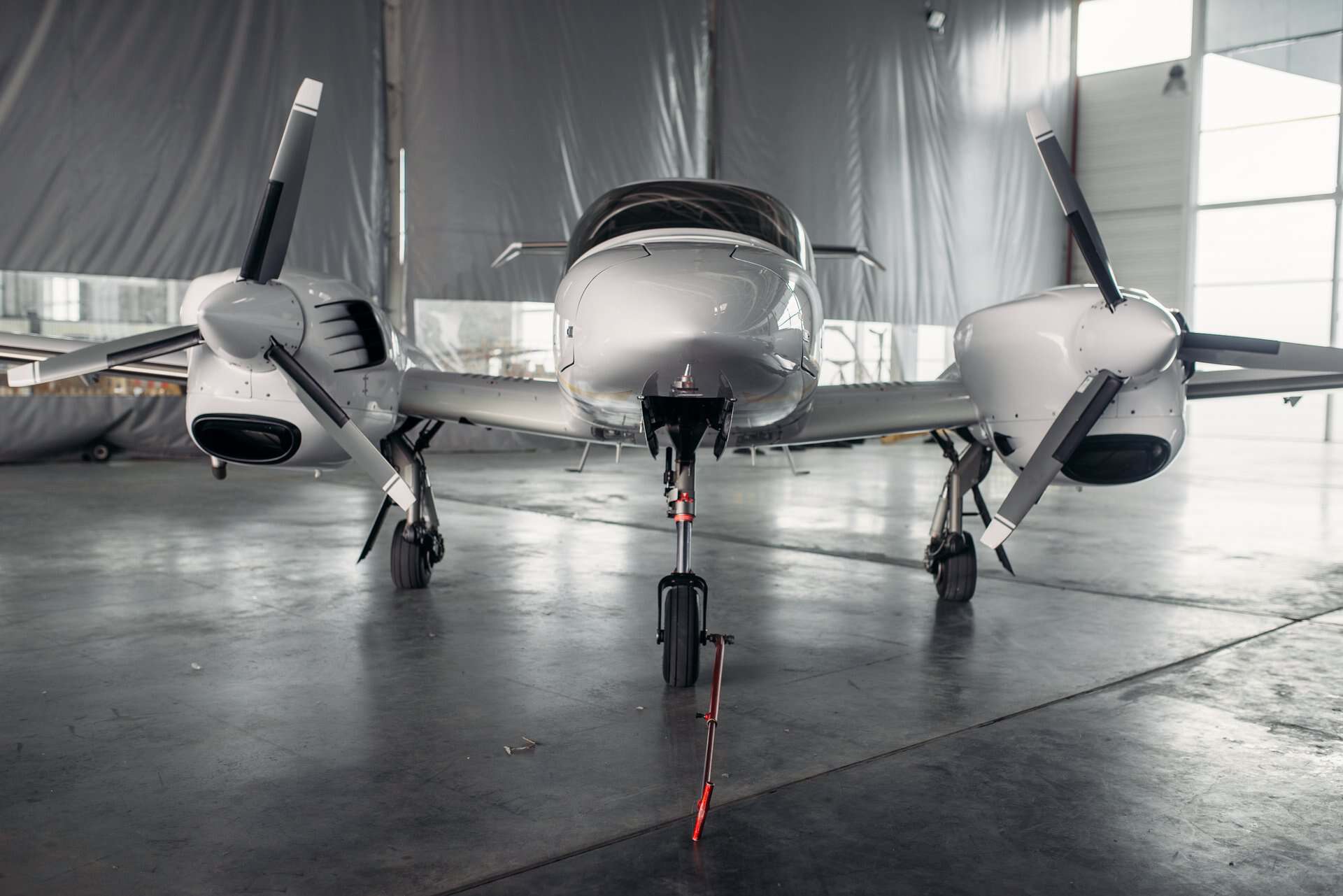
Fly behind one? Treat it like the tactical instrument it is. Preflight, check the radome for hail damage, water intrusion, or delamination. A bad radome attenuates your own transmit power before it even leaves the airplane. That kills sensitivity. On the ground, don’t transmit into people, fueling operations, or hangars. The microwave energy is non-trivial. Every POH says stand-by until moving clear of ramp activity.
In flight, get in the habit of tilt sweeps every few minutes when weather is on the picture. Set a mental “trust window” — how far ahead you actually trust the return. Base it on what you’re seeing at the edges and the color of the cells in front. Cross-check the radar picture against the datalink NEXRAD picture. If they disagree, one of them is wrong. You need to figure out which before you commit to a maneuver.
Talk to ATC. Radar controllers are looking at their own weather picture. It’s often better than what you’re seeing at your altitude. Ask for deviations early. Nobody minds a Bonanza that turns 20 miles out. Everybody minds a Bonanza that penetrates a cell they were watching for the last three sweeps.
One more discipline habit worth building in: log what worked. Every hard-weather flight, take two minutes on the ground afterward. Write down what the sensor showed versus what you actually flew through. Over a few seasons that log becomes the single most useful training document you own. You’ll spot patterns. The times you trusted the radar too much. The times you didn’t trust it enough. The specific display cues that turned out to matter. That kind of after-action review separates pilots who have a hundred hours of experience from pilots who have the same hour a hundred times.
Frequently Asked Questions
Is an airborne weather radar worth it for a GA piston owner?
It depends on the mission. Fly hard IFR in convective terrain routinely? Yes — airborne weather radar gives you a real-time tactical picture nothing else provides. Fly light IFR or mostly VFR cross-country trips? Datalink NEXRAD plus a lightning detector will do 95 percent of the job at a fraction of the cost. Match the tool to the flying, not the other way around.
Can airborne weather radar see turbulence?
Not directly. Radar reflects off water droplets. Clear-air turbulence has no water in it. Modern turbulence-detection modes measure doppler shift on existing precipitation returns. No precip, no turbulence indication. Don’t rely on your radar to warn you of turbulence in clear air. Don’t assume smooth air behind a cell just because the radar is quiet.
What’s the difference between airborne weather radar and NEXRAD?
Airborne weather radar is on your airplane, active, and shows real-time precipitation along your line of sight. That’s tactical. NEXRAD is ground-based, composited from dozens of stations. It can be 15 to 20 minutes stale by the time it reaches your cockpit. That’s strategic. AIM 7-1-27 explicitly says do not use datalink NEXRAD as the sole means for tactical maneuvering. Use each tool for what it’s actually good at.
Related Articles
- Thunderstorm Avoidance: The Complete GA Pilot Guide 2026
- Lightning Detection for GA Pilots: The 2026 Stormscope Guide
- ATIS vs AWOS vs ASOS: The 2026 GA Pilot Field Guide
- Reading PIREPs: The 2026 GA Pilot Field Guide
- Reading AIRMETs and SIGMETs
- How to Read a METAR
- Weather Decision Making for GA Pilots
- ForeFlight Complete Guide for GA Pilots (2026)