Last Updated: July 15, 2026 | By E3 Aviation Editorial Team
Marine layer fog is the single most common reason a West Coast GA pilot cancels, delays, or files IFR for a leg that would’ve been a two-hour scud run anywhere else in the country. It sits on the coast most summer mornings. It hides the airport, the ridge line, and half of the pattern. Then it burns off at some hour nobody can quite nail down, and everyone launches at once.
This guide is written for the pilot who flies out of KHAF, KMRY, KSMO, KVNY, KSBP, KSBA, KSFO’s reliever airports, KOAK, or any of the coastal fields between Eureka and San Diego. It’s not a meteorology paper. It’s a pilot-facing recognition guide — what the layer is, why it forms, how to read it in a briefing, and how to plan around it without turning a coffee run into a diversion story.
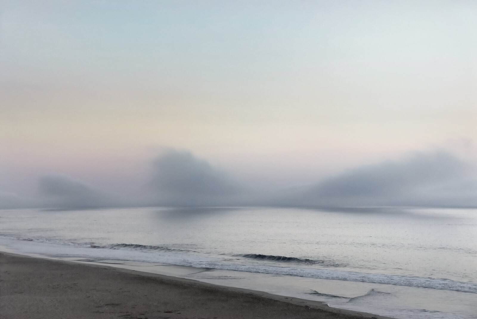
What Marine Layer Fog Actually Is
Marine layer fog is a shallow deck of stratus or stratocumulus that forms over the cold Pacific and pushes onshore. Warm, moist air moves over the cool water. It cools to its dew point. A temperature inversion caps the whole thing.
Under the inversion, the air is saturated and cool. Above it, the air is warmer and drier. When the deck touches the surface, the FAA calls it fog. When it sits a few hundred feet up as stratus, it’s a low ceiling. Either way, it’s the same weather system with a different vertical position.
Two things matter for the pilot. First, the deck is usually thin — often only a few hundred feet from base to top. Second, the top is remarkably flat. If you can climb through it on an IFR clearance, you pop out into a bluebird cruise almost immediately.
Why the West Coast Gets Marine Layer Fog Worse Than Anywhere Else
Three things stack up. Cold Pacific water, warm summer land, and mountain ranges that trap the marine air against the coast.
The California Current runs cold from Alaska down past San Diego. Interior valleys heat up all summer. That temperature gradient drives an onshore push. Coastal ranges — the Santa Cruz Mountains, the Santa Ynez, the San Gabriels — keep the marine air below ridge line and channel it through the gaps.
Peak season runs June through September for Southern California and much of the Bay Area. San Francisco’s summer fog even has a nickname — Karl. But the layer isn’t a summer-only story. Half Moon Bay sees stratus overnight and morning eleven months a year.
The foggiest stretch on the coast isn’t San Francisco. It’s the run from Point Reyes up to Eureka. If you fly out of KACV, KUKI, or KSTS, you already know: some mornings the whole coast is under a solid gray lid.
Reading the Layer in a Weather Briefing
You’ll see the marine layer show up in five places during a normal preflight brief. Learn to read all five.
METAR ceiling and visibility. Look for OVC003 through OVC008 with visibility 1–3 SM in mist (BR) or fog (FG). Broken decks (BKN) at similar heights mean the layer is patchy or breaking up. If you see a temperature and dew point within two degrees of each other, the moisture is already there and the deck is either present or coming.
TAF trend. California TAFs at coastal fields are notoriously conservative. A morning TAF will typically forecast a burn-off window — something like “OVC005 becoming SCT025 by 18Z.” That’s your best hour-of-day guess. Trust it as a starting point, not a promise. Watch our ATIS/AWOS/ASOS field guide for how the automated stations report ceiling versus prevailing visibility — the difference matters when the deck is uneven.
Area Forecast Discussion. The NWS Bay Area, Los Angeles, San Diego, and Eureka offices publish an AFD twice a day. Search “marine layer” in the discussion. On a bad day it’ll say “deep and stubborn.” On a good day it’ll say “shallow and eroding by mid-morning.” That’s your best gut check.
PIREPs. Coastal PIREPs are gold. A pilot report of “tops 1,800 at 34.05N/118.4W” tells you exactly how thin the deck is at LAX. Read our PIREP field guide before you brief a marine-layer morning — the tops line is what turns a scary brief into a manageable IFR climb.
Satellite loops. GOES visible imagery every 5–15 minutes shows the layer as a smooth, low-albedo blanket. Watch it retreat toward the coast through the morning. If it’s not retreating by 10 or 11 local, you’re likely stuck until afternoon — or all day.
Burn-Off Timing You Can Actually Trust
Every West Coast student pilot hears the same rule: “It burns off by noon.” That’s wrong often enough to hurt you.
Here’s the honest version. The layer burns off when three things line up. The sun angle is high enough to warm the land. The onshore push weakens. And the deck isn’t so deep that sunlight can’t reach the ground quickly.
Practical windows:
- SoCal coast in July–August: typical clear by 11 local, sometimes 09. When the deck is deep, it never clears at all.
- Bay Area in June–August: typical clear inland by 10, along the coast by noon. When Karl is stubborn, HAF and OAK can stay OVC005 all day.
- Northern California coast, all year: often stays IFR all day, especially in valleys.
The trap is scheduling around the average. On the day the layer stays put, you cancel — or you file IFR. Never plan a coastal VFR flight where the alternate is “wait for it to clear.”
VFR Departures From a Fog-Covered Airport
Two options. Wait, or file Special VFR.
Special VFR is legal at any Class B, C, D, or E surface area with reported visibility one statute mile and clear of clouds — if the tower or center approves and the airport isn’t on the no-SVFR list. Some coastal fields (KSFO, KLAX, KSAN, KOAK) don’t allow SVFR. Most GA fields do.
The catch: Special VFR at 500 feet under a marine layer is not comfortable flying. You’re one gust from the deck. There’s no VFR corridor over the ocean until the layer breaks. If you don’t have current instrument skills, don’t take an SVFR clearance to punch out of the coast.
The safer play: wait. Or drive to an inland field and depart from there. KHWD is 20 minutes from KHAF and often clear when Half Moon is 200 overcast. Same idea in SoCal — KRIV or KRAL is often severe clear when KSMO is 400 overcast.
IFR Departures and Approaches Through the Layer
This is where the layer stops being scary and starts being routine — if you’re current, current in the airplane, and current on the procedure.
Departure: the ODP or SID gets you climbing through 200–800 feet of cloud and out on top. Most coastal departures see the top of the deck below 2,000 AGL. From there it’s severe clear all the way to your destination.
Approach: this is the harder side of the trip. Coastal ILS and RNAV approaches routinely see 300–500 foot ceilings and 3/4 SM visibility. You need to fly the approach to minimums cleanly. Missed approach terrain along the coast is rarely benign — KMRY, KSBA, and KSMO all have terrain considerations off the missed approach segment.
Two currency reminders. First, this is not the day to blow the dust off a lapsed instrument rating. Get an instrument proficiency check before summer if you fly the coast. Second, your alternate has to actually be VFR — not another airport under the same marine layer. That means going 40–60 miles inland.
Our take: if you’re instrument rated and current, the layer turns into a non-event. If you’re not, treat it like weather that just closed the airport. Both are honest answers. Neither is dumb. What’s dumb is pretending you’re current when you’re not.
Marine Layer vs Other Fog Types
Marine layer fog is technically advection fog — warm air moving over cold water. It behaves differently from the other fog types you’ll meet.
- Radiation fog forms overnight in valleys under clear skies and calm wind. It’s hyper-local. Central Valley tule fog is the SoCal winter version. Burns off with sun.
- Upslope fog forms when moist air is forced up terrain. Common in the Rockies and Appalachians. Doesn’t clear until the wind shifts.
- Precipitation fog forms in the rain shaft under a warm front. Wide area, persistent. You don’t wait it out; you file IFR through it.
- Steam fog forms when cold air moves over warm water. You see it over lakes in fall. Rare on the coast.
The reason this matters: the marine layer has a top. The others often don’t. A West Coast IFR climb to 3,000 usually gets you above the layer. A Midwest climb through radiation fog might not clear until you’re at 6,000 or higher. Our fog formation and forecasting primer walks through the full formation model if you want the meteorology-side detail.
The Top-of-the-Layer Trap
Here’s a scenario that catches VFR pilots every summer.
You depart an inland field. Severe clear. You point the airplane toward the coast. Over the ridge, you see a beautiful, flat cloud deck below you. You’re on top, VFR, 3,500 feet, sun on your face. Great flight.
You cross the coastline. The deck spreads inland. You look down — still on top, still VFR. You look ahead — still on top. Sixty miles later you realize you don’t have a hole. Your destination is under the deck. Your alternate is under the deck. And you’re a VFR pilot on top of an undercast that stretches from Fort Bragg to San Diego.
This is the classic “VFR into IMC” setup that shows up in CFIT accident reports every year. The fix is planning, not skill. Before you launch VFR on any coastal leg in fog season, know exactly where the layer ends and where you can descend through a hole into legal VMC. If you can’t answer that in the runup, don’t go.
Related: keep at least one handheld radio in the bag. If your alternator quits on top of the layer, you don’t want to lose ATC when you need them most.
West Coast Airports Worth Studying Before Fog Season
These are the fields where marine layer fog matters most. If your regular flying touches any of them, know their approaches cold.
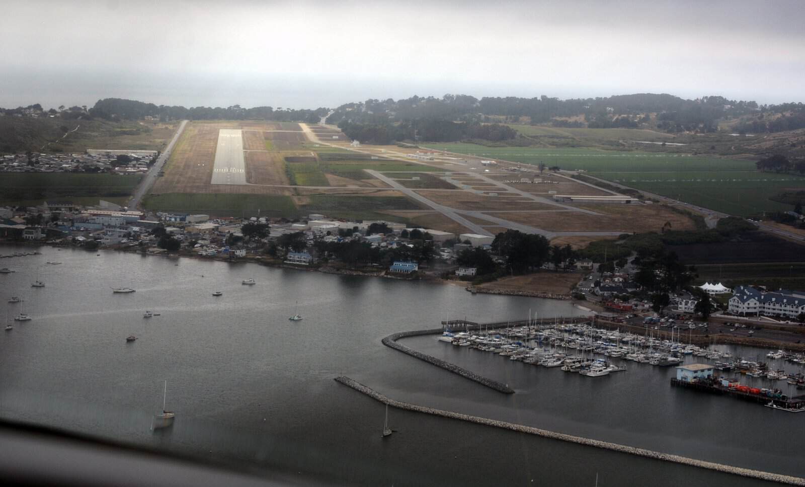
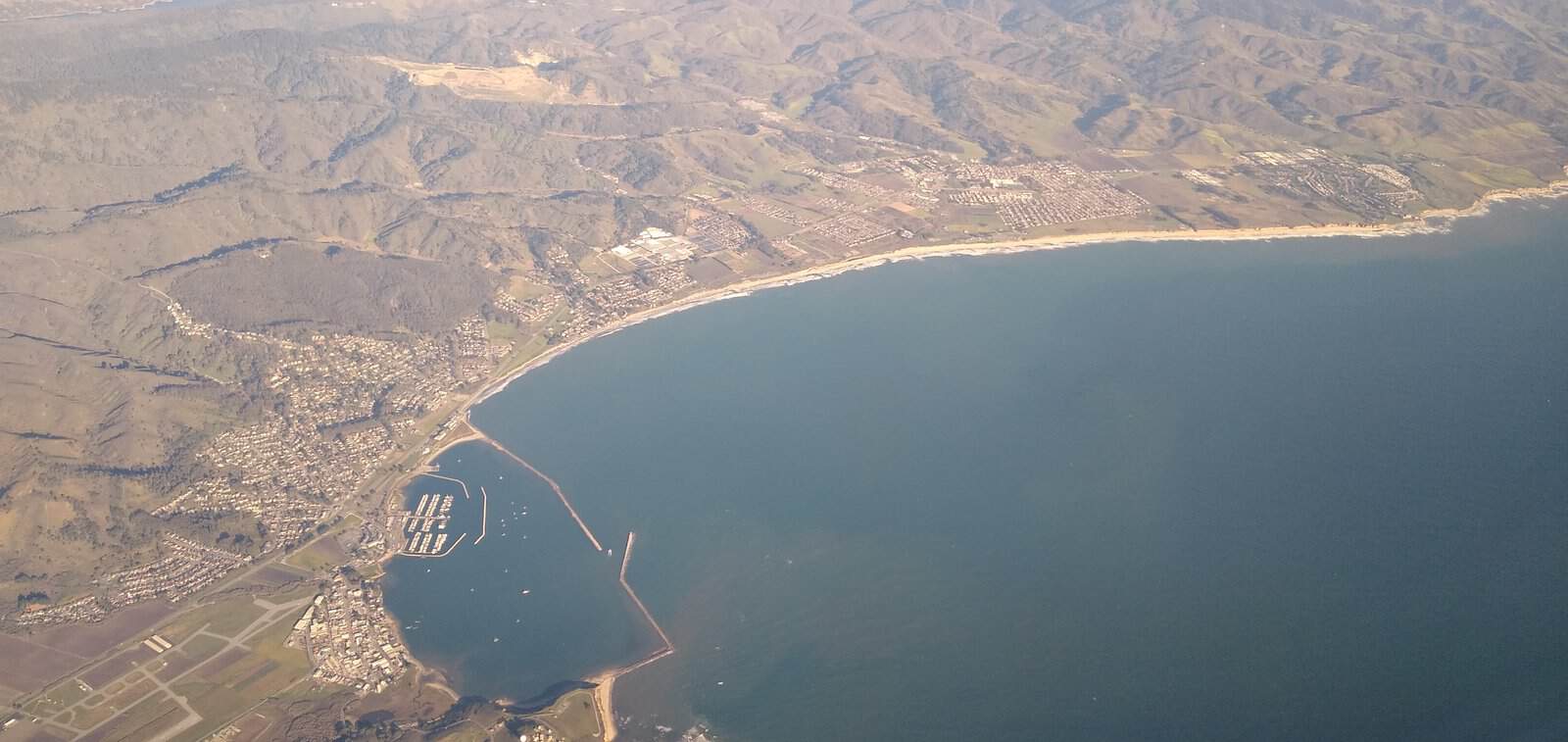
- KHAF Half Moon Bay: right on the water. RNAV to 30 is your friend. No tower — know the CTAF traffic pattern in low visibility.
- KOAK Oakland: tower field. ILS to 12L. Ceilings often better than KHAF five miles away.
- KMRY Monterey: terrain on the missed. ILS to 10R plus RNAV.
- KSBA Santa Barbara: deep marine layer in July. ILS to 07 is the workhorse.
- KSMO Santa Monica: tower field, close-in terrain. Approaches often the only way in June.
- KSNA John Wayne, KLGB Long Beach: better than the coast, worse than the inland fields.
- KRIV Riverside, KRAL Riverside Municipal: often the escape hatch when SoCal coast is stuck.
Study the plates for two of them before summer. Fly the approach on a nice day. Then when the layer sits down on the field, you’re executing a procedure, not learning one.
How the Layer Changes Your Go/No-Go Call
Weather-flying isn’t about avoiding all bad conditions. It’s about matching the airplane, the pilot, and the mission to the weather in front of you. Our full framework lives in the weather decision-making guide. Here’s the marine-layer-specific version.
Ask three questions before you launch on a coastal morning in fog season:
1. Is the layer at my departure, my destination, or both? If both, and you’re VFR, don’t launch until the destination is confirmed clear.
2. What’s the top? If PIREPs put the top at 1,500 and you’re instrument-rated in a climb-capable airplane, an IFR clearance is a 90-second exposure to cloud. If the top is 4,000 and you’re in a low-power trainer, you’re inside the deck for real time.
3. Where’s my out? An alternate on the coast under the same layer is not an alternate. Pick something inland with severe clear forecasts, and confirm it can hold you for hours if the layer sits.
What Most Pilots Get Wrong About the Layer
Here’s what we’d push back on if we heard it at the FBO.
“It’ll burn off, it always burns off.” No. On any given summer day, the SoCal deck can hold to sunset. In the Bay Area, Karl can win the whole day. The correct answer is “it usually burns off by X, and my go/no-go doesn’t depend on that.”
“I’ll just climb through it.” Only if you’re on an IFR clearance, current, and in an airplane certified for flight in IMC. VFR climbs through a coastal deck are illegal and dangerous.
“It’s just fog, it can’t be that bad.” The layer is soft, but it’s complete. Zero visibility once you’re inside. If you’re not proficient on instruments, spatial disorientation is a fast timeline. The vacuum system failure recognition guide has the mechanical failure angle if your gyros drop while you’re inside the deck.
Frequently Asked Questions
How thick is marine layer fog typically?
The layer on the California coast is usually 500–1,500 feet thick from base to top, though it can run 300 to 3,000 feet on unusual days. Coastal PIREPs are the fastest way to check today’s tops before you launch or brief an approach.
Can I fly VFR above marine layer fog?
Legally, yes — if you can maintain VFR cloud clearances above the layer and reach your destination in legal VMC. Practically, no unless you know exactly where the layer ends and you have a confirmed clear-air landing option. Being VFR on top of an undercast that stretches from your departure to your destination is the classic setup for VFR into IMC.
When does marine layer fog season start and end?
Marine layer fog is a year-round West Coast phenomenon, but the classic summer pattern — deep overnight decks, mid-morning burn-off, clear afternoons — runs roughly May through October in Southern California and June through September in the Bay Area. Northern California coastal fog is present most of the year.
Our Take
Marine layer fog isn’t weather to fear. It’s weather to plan around, brief for, and respect. West Coast pilots who fly through fog season without incident aren’t braver or more skilled — they’re better prepared. They know the burn-off windows for their airport. They read the AFD and the PIREPs. They have an inland Plan B every single morning.
If you’re instrument current and current on the approach, the layer is a 90-second climb and a 5-minute descent. If you’re a VFR-only pilot, treat it exactly like a closed airport and pick the day. Both approaches are honest. Both keep you flying for another 20 years.
Come talk shop with other West Coast pilots at E3 Aviation Association — our members trade PIREPs, burn-off notes, and coastal-field trip reports all summer.
External References
- AOPA Flight Training: The Coastal Marine Layer
- FAA AIM Chapter 7: Meteorology and Safety of Flight
- USGS Pacific Coastal Fog Project
- Pilot Institute: 7 Types of Fog Every Pilot Should Know
- IFR Magazine: West Coast Fog Monster
Related Articles
- Fog Formation and Forecasting for GA Pilots: The 2026 Complete Guide
- Reading PIREPs: The 2026 GA Pilot Field Guide
- Reading AIRMETs and SIGMETs: The 2026 GA Pilot Guide
- ATIS vs AWOS vs ASOS: The 2026 GA Pilot Field Guide
- Weather Decision-Making for General Aviation Pilots
- Instrument Proficiency Check: What It Covers and How to Pass
- CFIT Awareness for GA Pilots: The 2026 Safety Guide